60 работ · бесплатно скачать в высоком разрешении
Elevation and Plan of Woolwich Dockyard, Thomas Milton, 1753
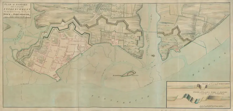
Map of Gosport, 1757
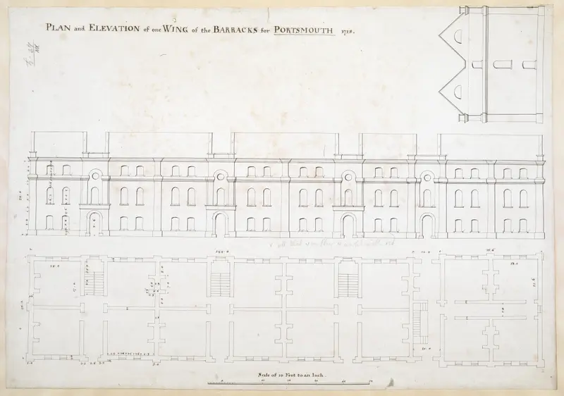
PLAN and ELEVATION of one WING of the BARRACKS for PORTSMOUTH
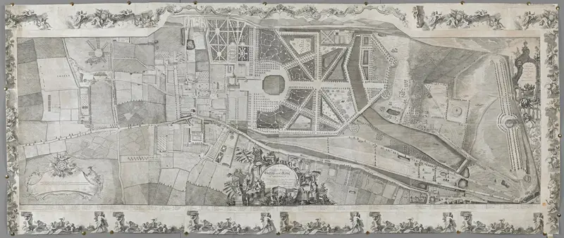
Plan of Kensington Palace, Gardens (BL Maps K.Top. 28.10.c.2)
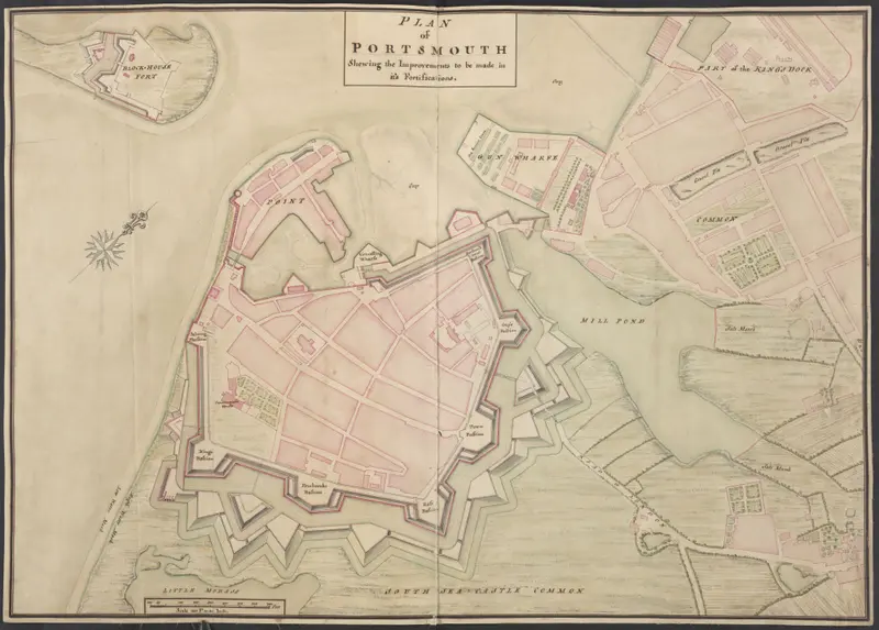
Plan of Portsmouth (c.1728)
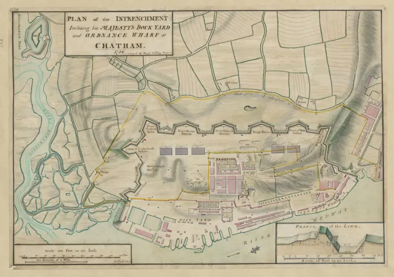
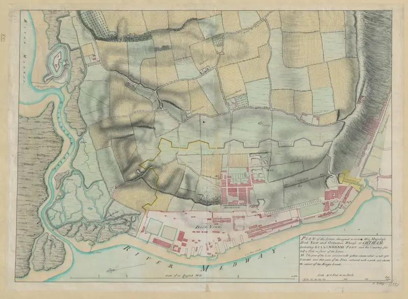
Plan of the Fortifications at Chatham, 1756
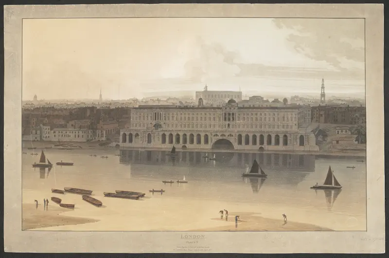
Somerset House, London 1805
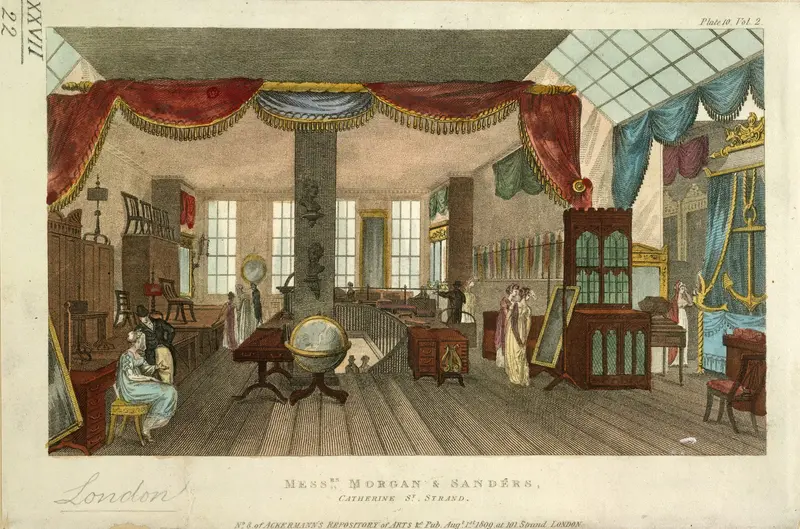
Messrs. Morgan and Sanders's - Ackermann's Repository (1809), plate 10 volume 2
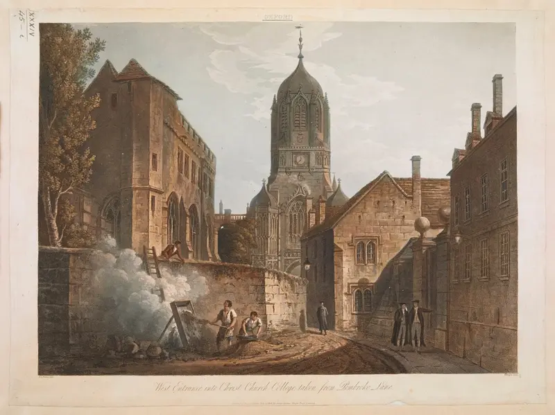
Nattes - West Entrance into Christ Church College, 1805 (BL Maps K.Top 34.45.i)
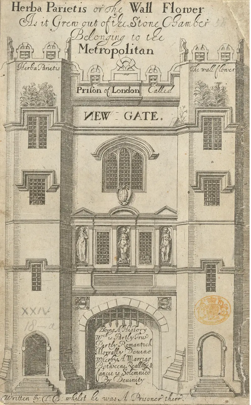
Engraving Of Newgate Prison
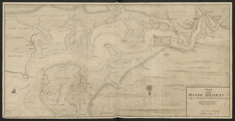
A Plan of the River Medway. with the Fortifications theron 1725
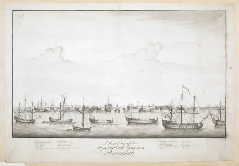
A West View of His Majesty's Dock Yard near Portsmouth, c.1750
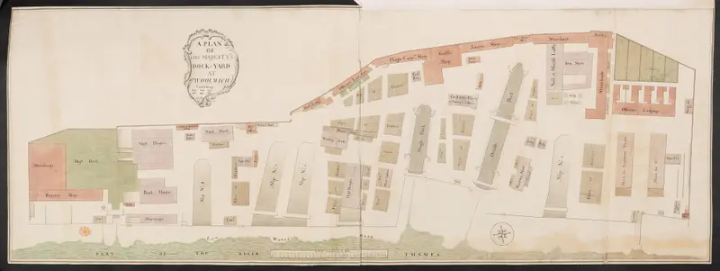
Map of Woolwich Dockyard, 1774
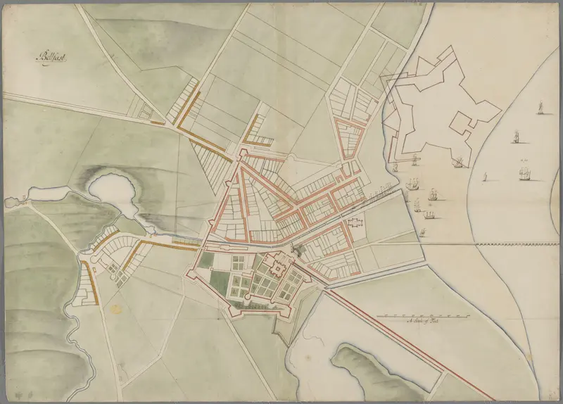
Thomas Phillips - Belfast (1685)
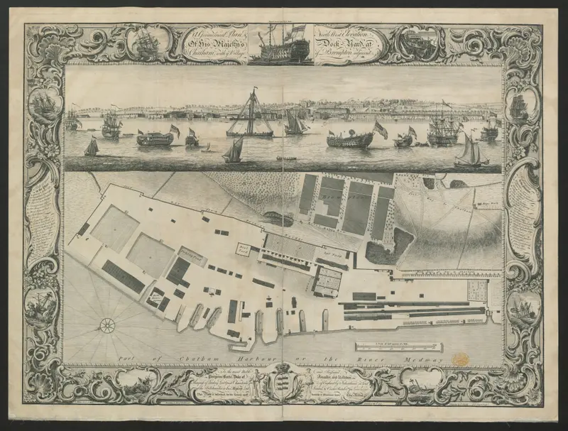
Elevation and Plan of Chatham Dockyard, Thomas Milton, 1755
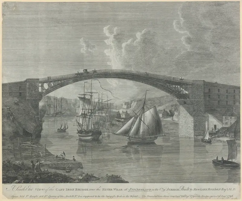
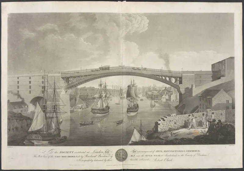
A South East View of the Cast Iron Bridge over the River Wear at Sunderland
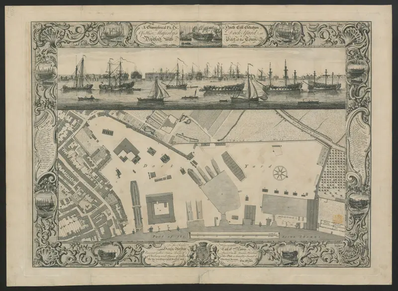
A plan of His Majesty's dock-yard at Deptford, 1774
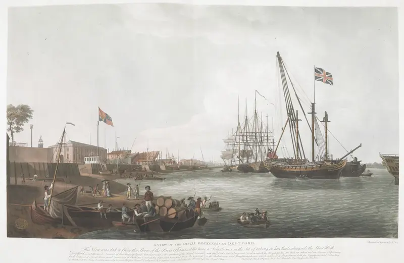
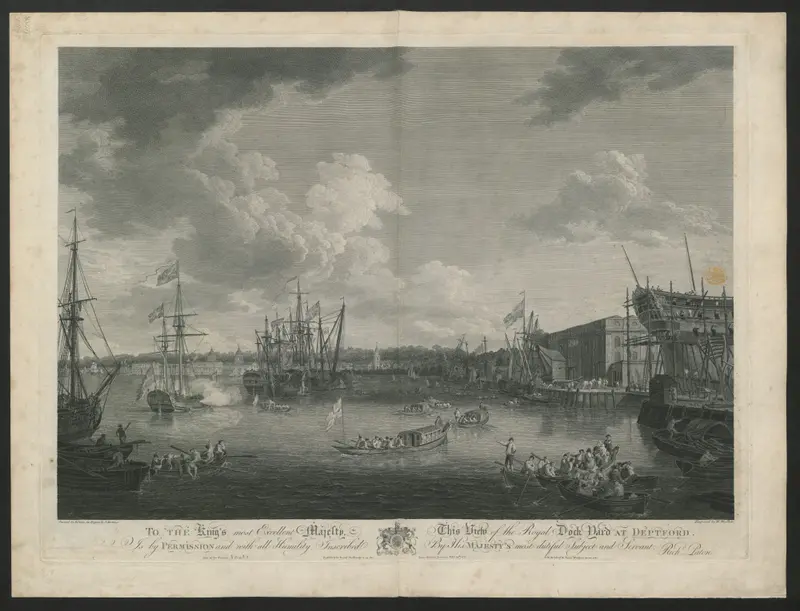
A View of the Royal Dockyard at Deptford, 1789
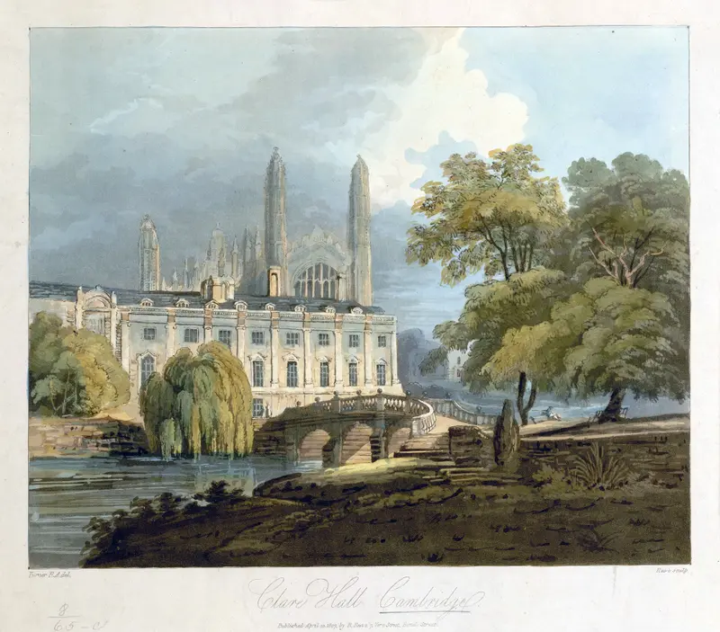
Clare Hall, Reeve 1807 after Turner 1793 003KTOP00000008U065C0000 SVC2
Elevation and Plan of Deptford Dockyard, Thomas Milton, 1753
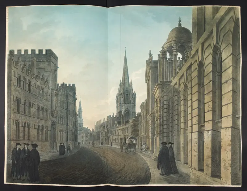
High Street, Oxford, 1803 (Maps K.Top 34.23.a)
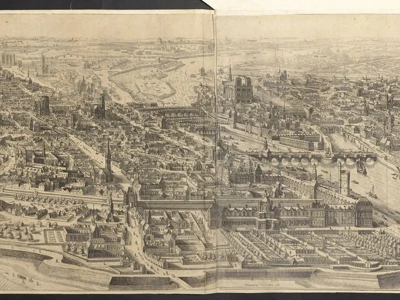
Hoiamis map of Paris (1619) (assembled) – British Library – Flickr
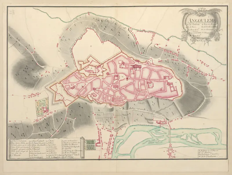
Plan of Angouleme 1720
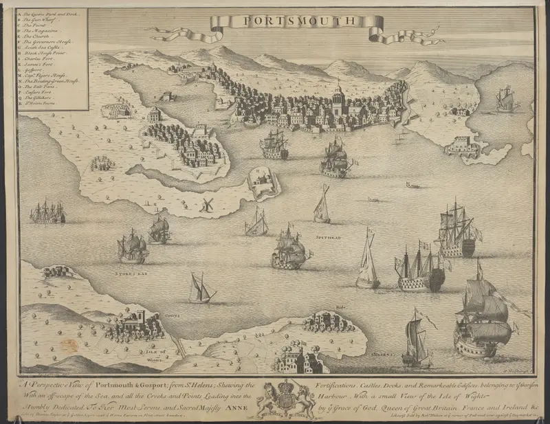
Portsmouth. A Perspective View of Portsmouth & Gosport, from St. Helens (c.1710-14)
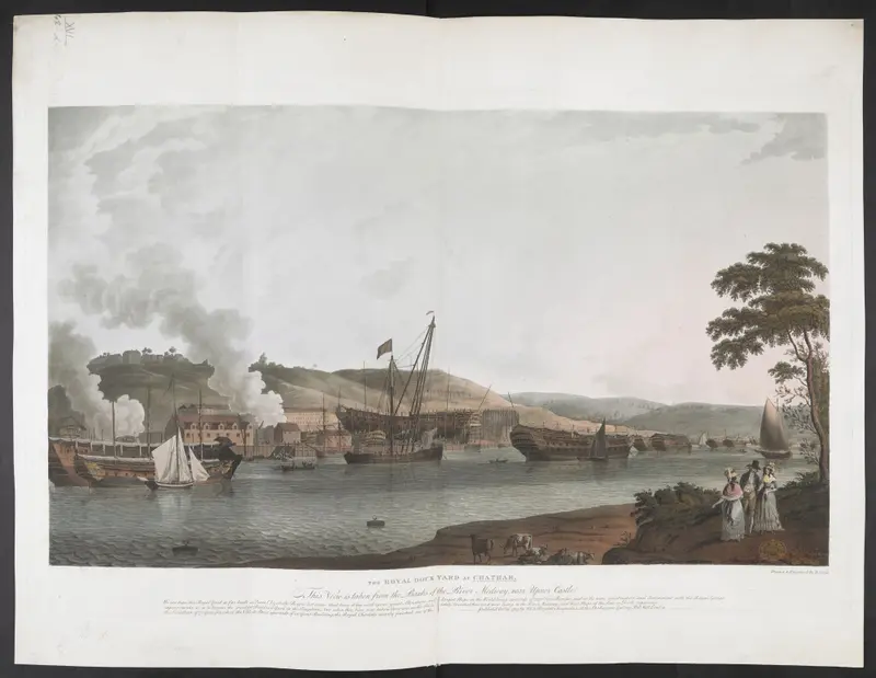
The Royal Dockyard at Chatham, 1789
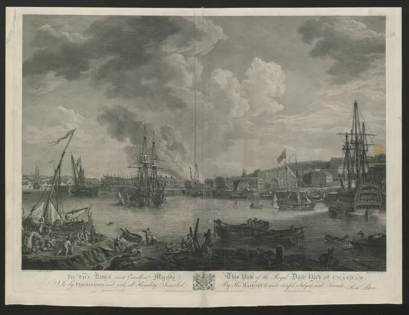
View of Chatham Dockyard, 1775
View of Deptford Dockyard, William Woollett, 1775
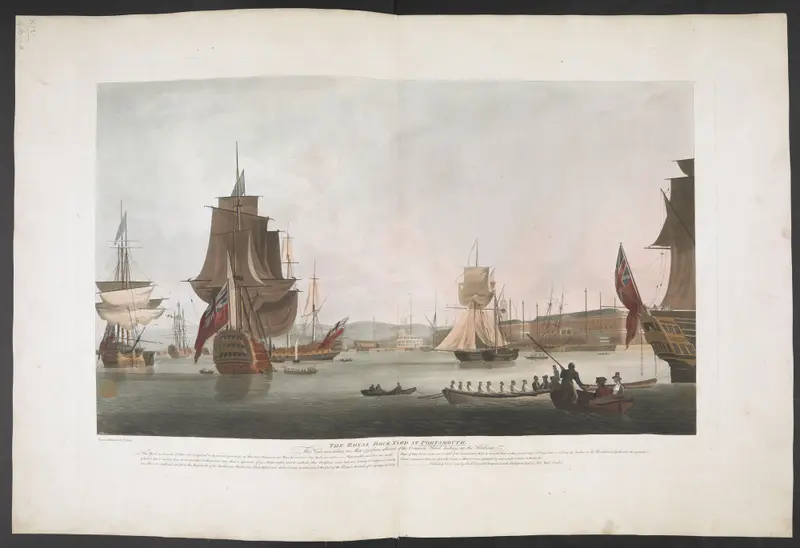
View of Portsmouth Dockyard, J & J Boydell, 1790
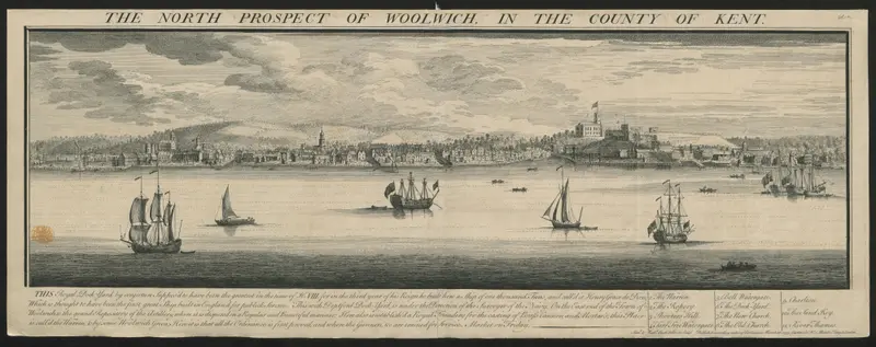
View of Woolwich (with accompanying text), S & N Buck, 1739
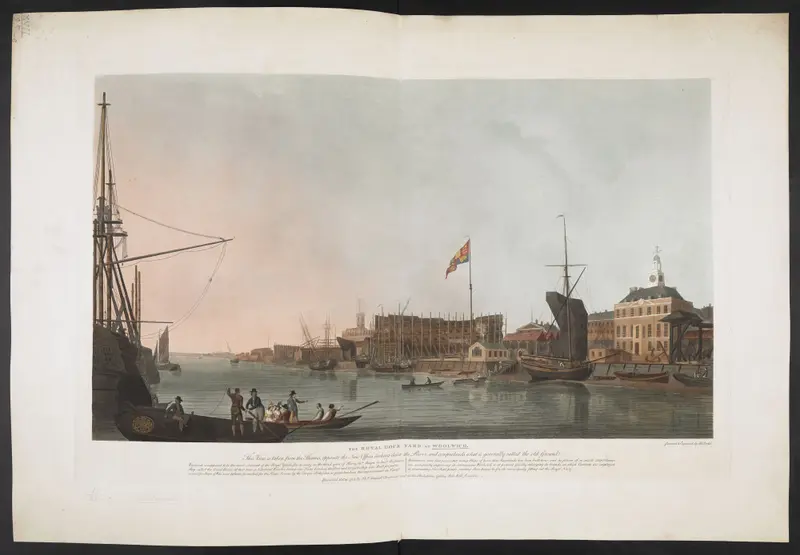
Woolwich Dockyard, 1789
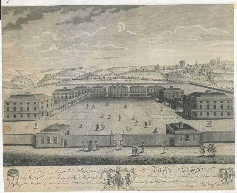
View of His Majesty's New Royal Hospital Building, near Plymouth for the Reception of the Sick and Wounded Seamen
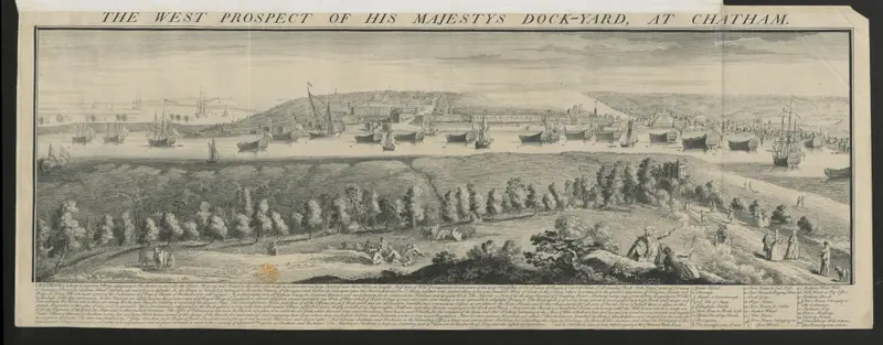
View of Chatham Dockyard, Samuel and Nathaniel Buck, 1738
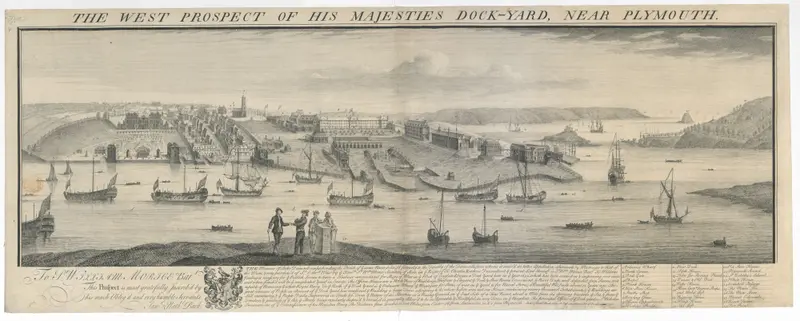
View of Plymouth Dockyard, Samuel and Nathaniel Buck, 1736
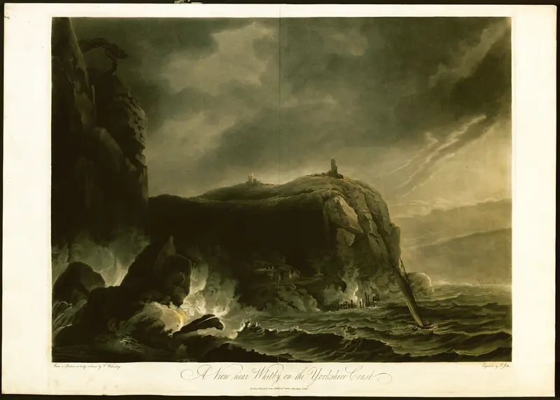
View of the coast by Whitby, Francis Jukes, 1804 (Maps K. Top. 44.53.g)
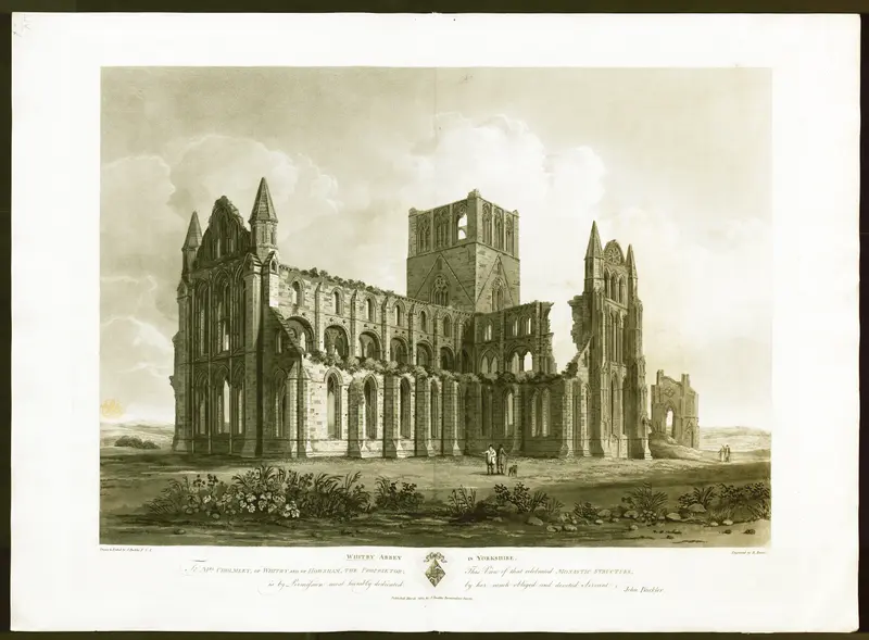
View of Whitby Abbey, Buckler, 1812 (Maps K. Top. 44.53.f)
West View of the Cast Iron Bridge over the River Wear at Sunderland
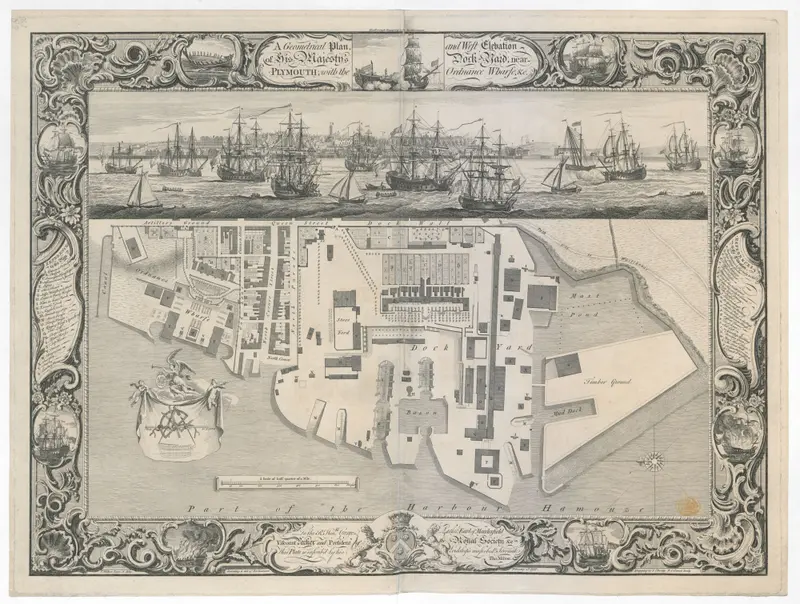
Elevation and Plan of Plymouth Dockyard, Thomas Milton, 1756
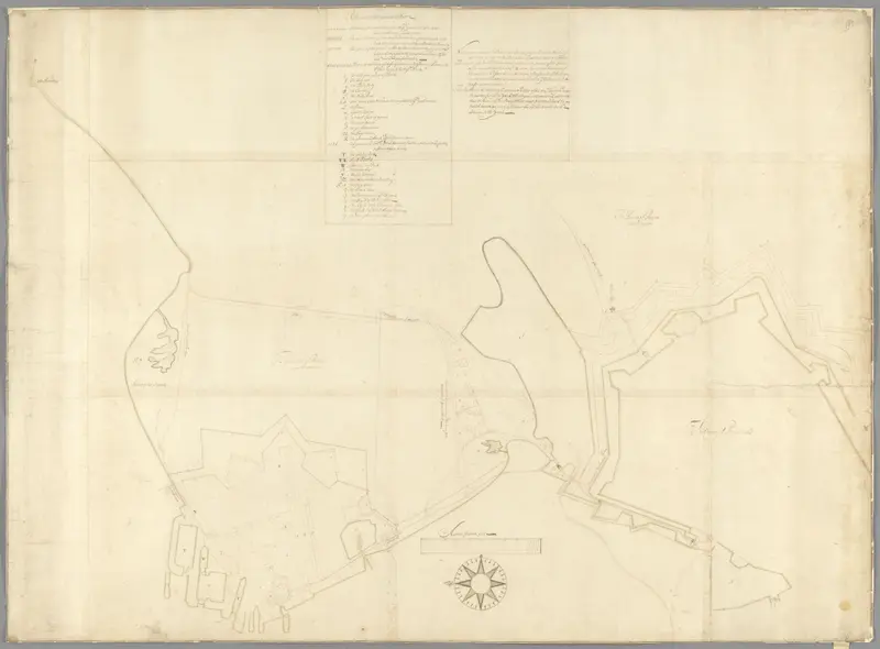
A large outline plan of Portsmouth Dock-yard, and of the fortifications of the town of Portsmouth, c.1689-1702
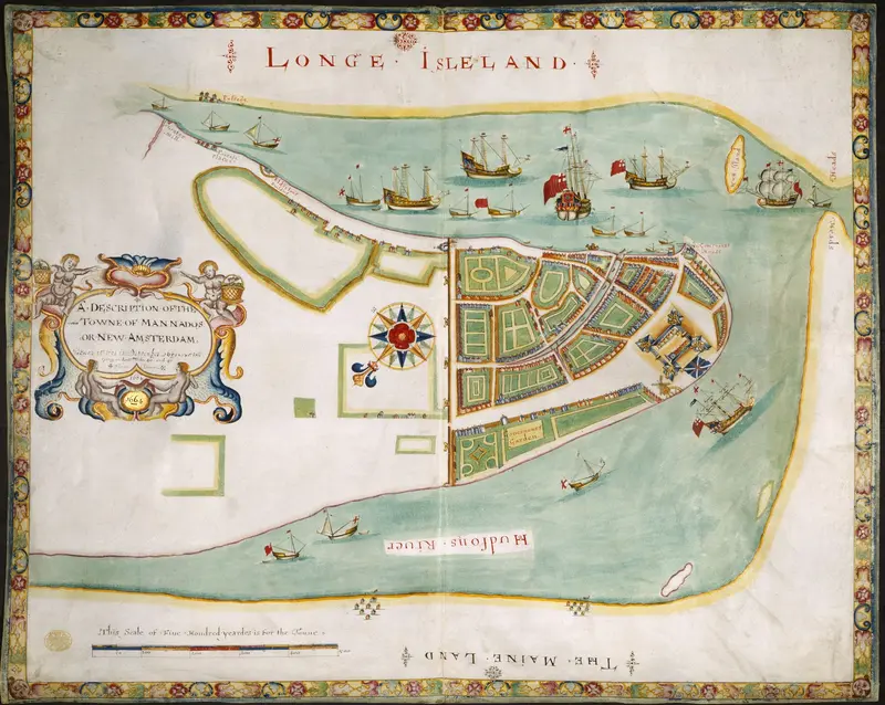
Plan of New York or New Amsterdam (as in Sept 1661), 1664
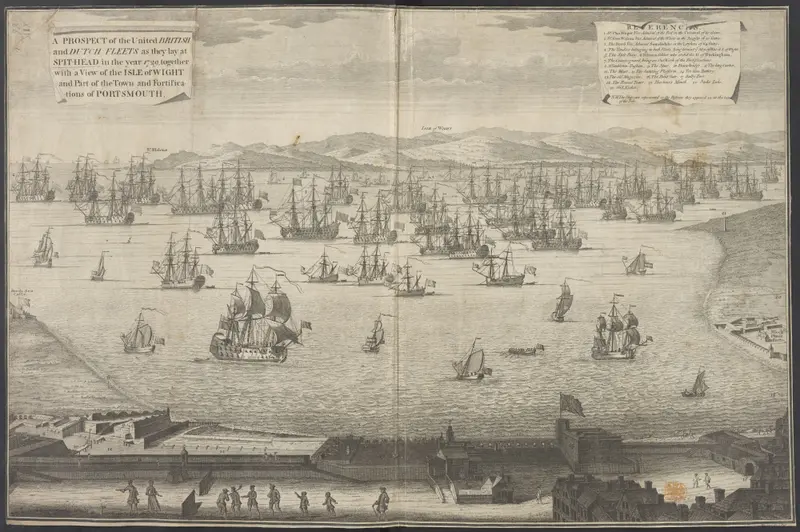
A Prospect of the United British and Dutch Fleets as they lay at Spit-Head in the year 1729
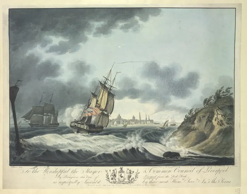
Liverpool from the Rock Perch - Three Views of Liverpool (1797)
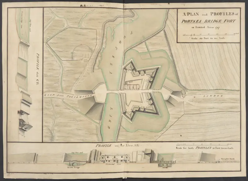
A Plan and Profiles of Portsea Bridge Fort as Erected Anno 1747
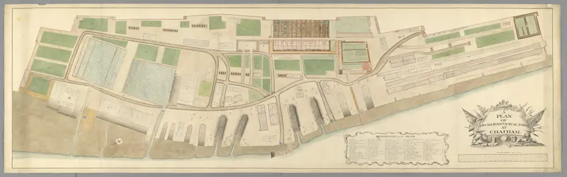
A Plan of His Majesty's Naval Yard at Chatham, 1774
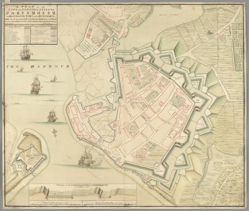
A plan of the town and fortifications of Portsmouth, with the Blockhouse Fort and the Gunwharfe (1750)
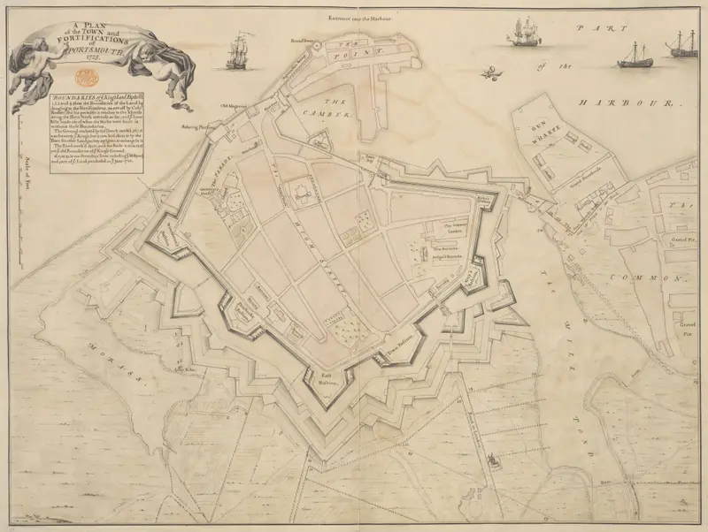
A Plan of the Town and Fortifications of Portsmouth (1725)
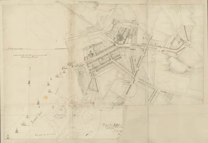
Ground Plan of Belfast (1685)
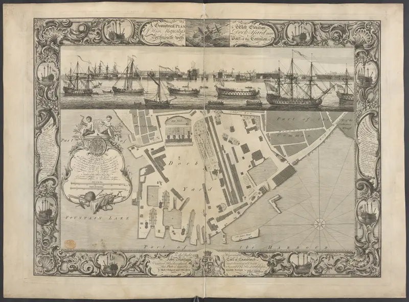
Elevation and Plan of Portsmouth Dockyard, Thomas Milton, 1754
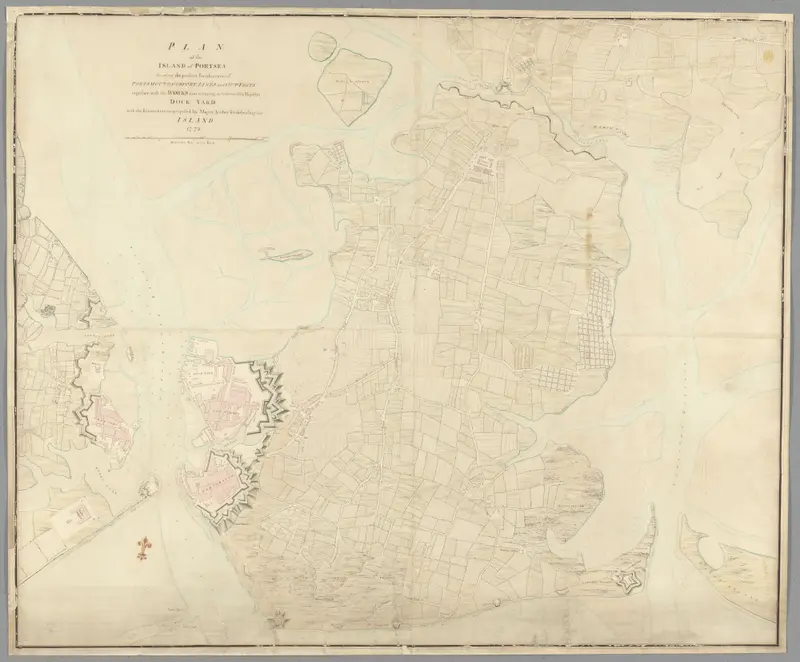
Map showing Fortifications of the Island of Portsea, 1773
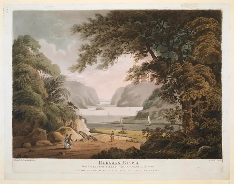
HUDSONS RIVER From CHAMBERS CREEK looking thro the HIGH LANDS by Francis Jukes
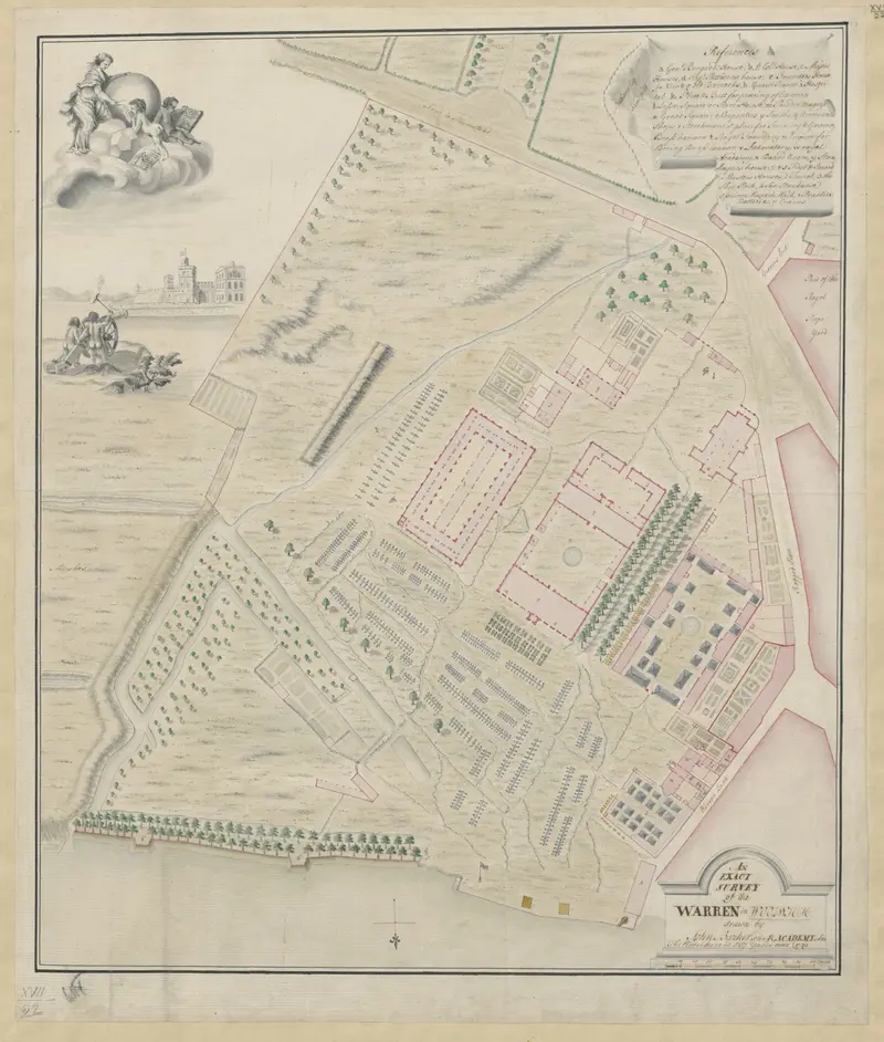
Map of Woolwich Warren, John Barker, 1749
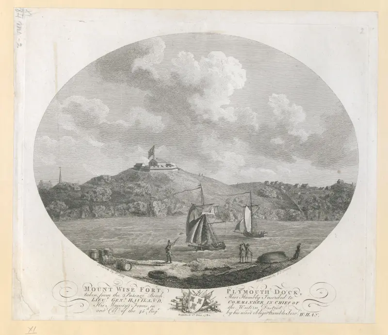
Mount Wise Fort, Plymouth Dock, by William Hay, 1780
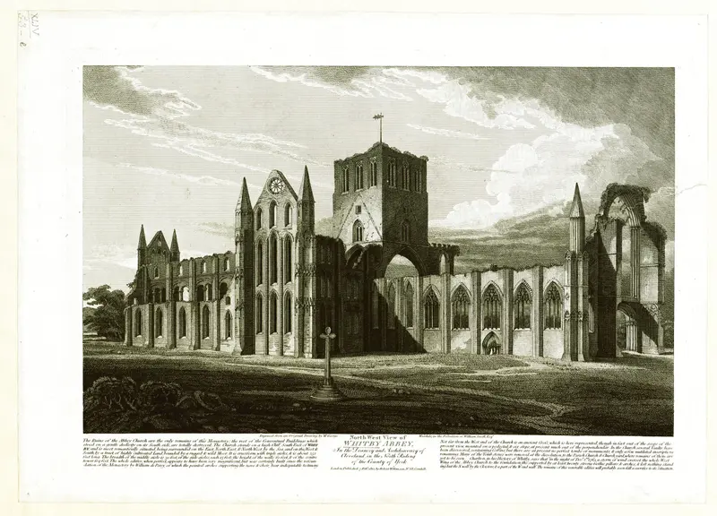
North West View of Whitby Abbey, Wardale, 1812 (Maps K. Top. 44.53.e)
Plan of the Fortifications at Chatham, 1755
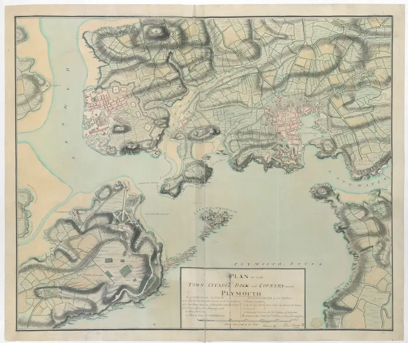
PLAN OF THE TOWN, CITADEL, DOCK and COUNTRY round PLYMOUTH, John Manson, 1756
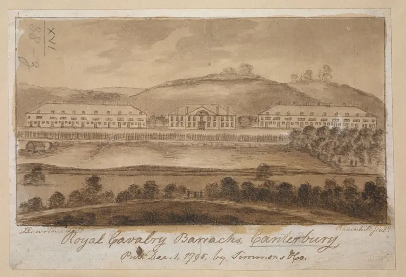
Royal Cavalry Barracks Canterbury
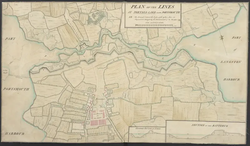
Plan of the Lines at Portsea-Lake near Portsmouth (W. Dundas, 1757)
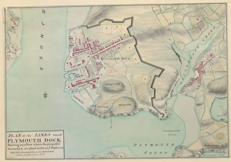
PLAN of the LINES round PLYMOUTH DOCK, 1756
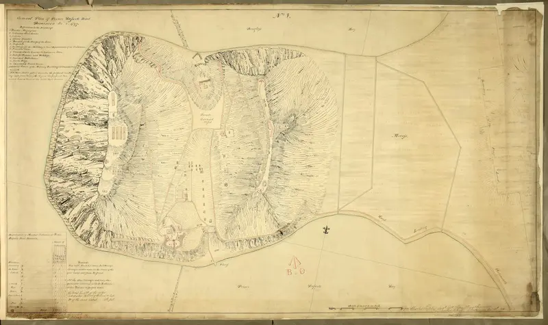
Prince Rupert's Head, Dominica 1799 MPHH1-18-1
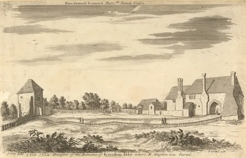
Ruins Of Faversham Abbey, Stukeley, 1722
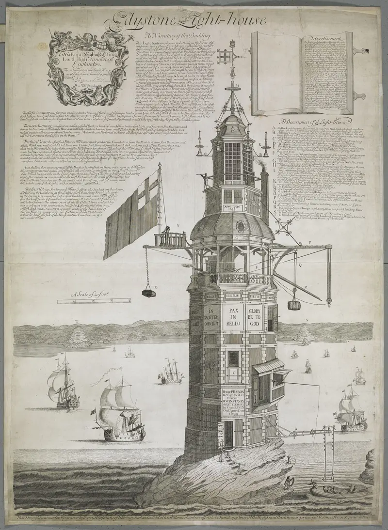
The BL King’s Topographical Collection- "Edystone Light-house "