Imperial Federation, Map of the World Showing the Extent of the British Empire in — History & Facts
In Imperial Federation, Map of the World Showing the Extent of the British Empire in, Walter Crane uses vibrant colors to depict a detailed map. The map is filled with various shades of blue and green, representing oceans and landmasses. Surrounding the map are illustrations of ships and symbols of British colonies, emphasizing the empire's reach.
The overall composition is both informative and visually striking. The artwork is an illustration that combines cartography with artistic elements. Crane's use of color and line work creates a dynamic representation of the British Empire. The map includes detailed borders and labels, making it a functional piece as well as a decorative one.
Viewers can appreciate the intricate details that highlight the extent of British territories. Walter Crane was a prominent figure in the Victorian art scene, known for his illustrations and designs. This work reflects the period's fascination with empire and exploration. An interesting fact about this piece is that it served not only as a map but also as a celebration of British imperialism during the late 19th century.
Crane's ability to blend art with information made this work both educational and visually appealing.
More Artworks by Walter Crane

Oranges and Lemons
Walter Crane
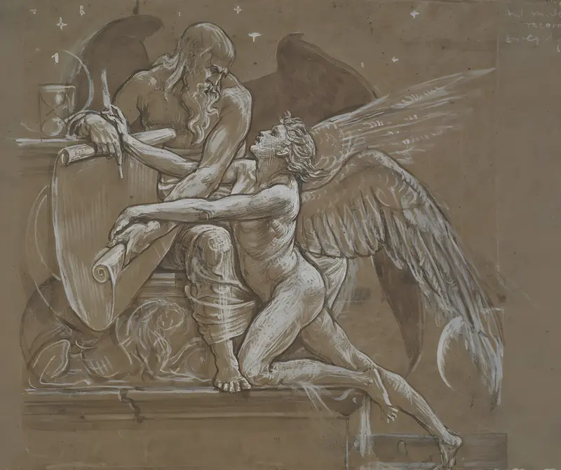
The Roll of Fate, England
Walter Crane
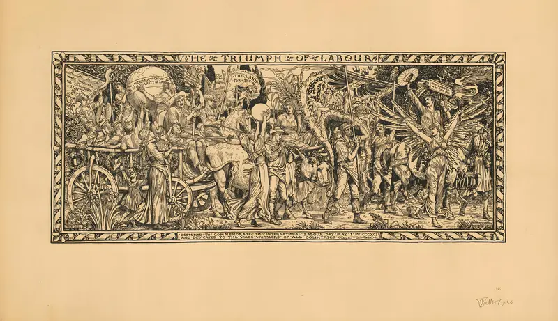
The Triumph of Labour. Designed to commemorate The International Labour Day
Walter Crane
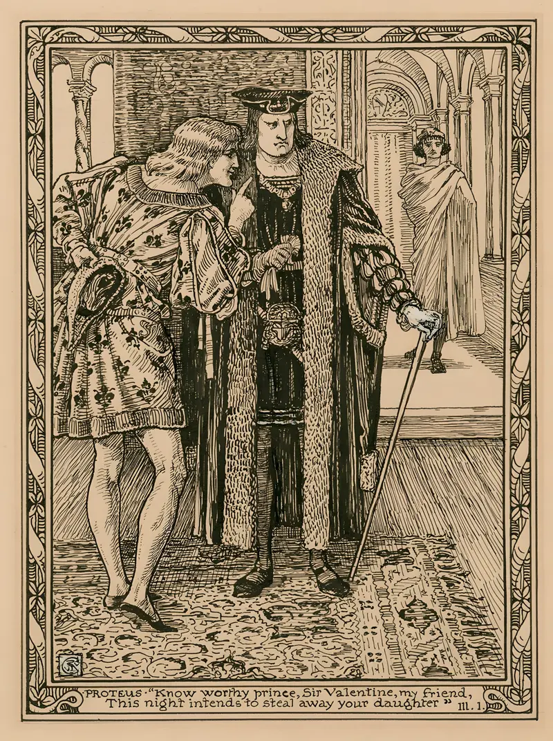
Proteus; ‘Know worthy prince, Sir Valentine, my friend, this night intends to steal away your daughter’, III, 1
Walter Crane
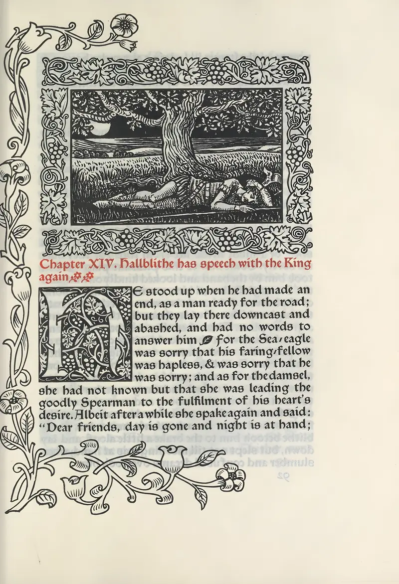
Chapter XIV. Hallblithe has speech with the King again
Walter Crane
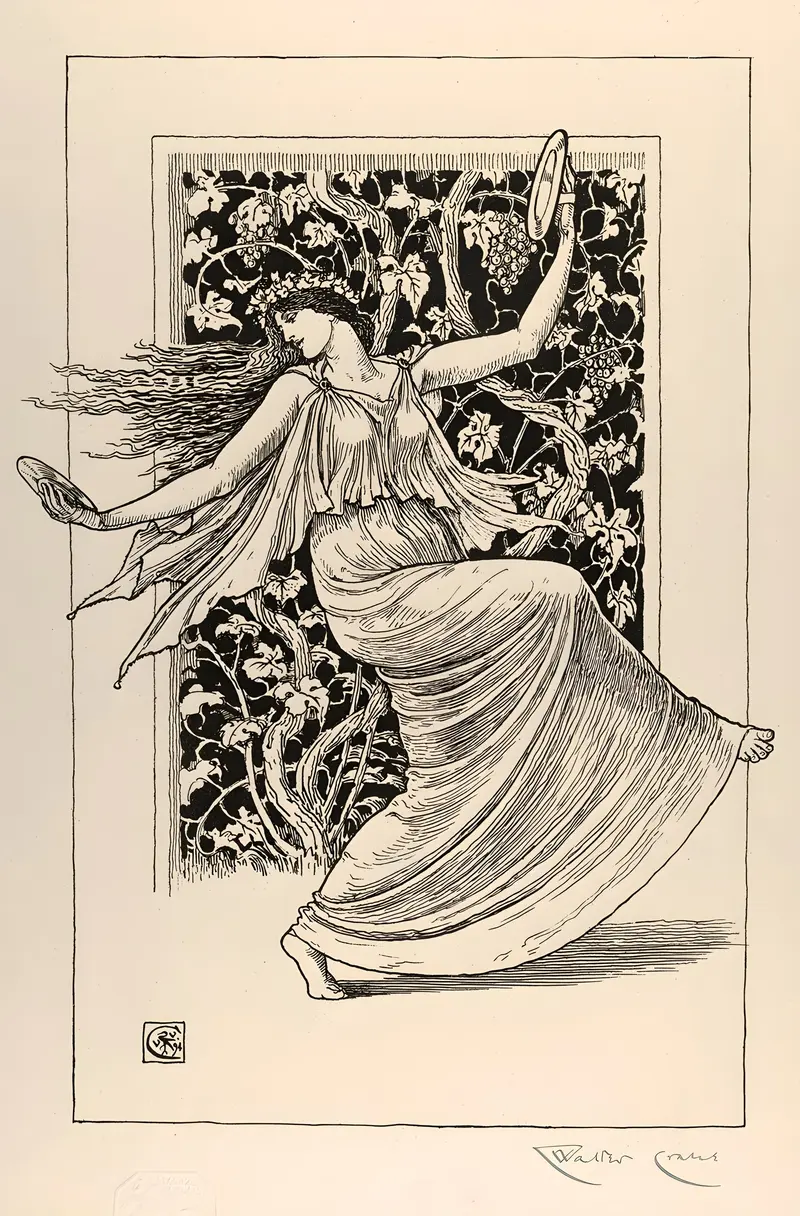
Dancing Nymph
Walter Crane
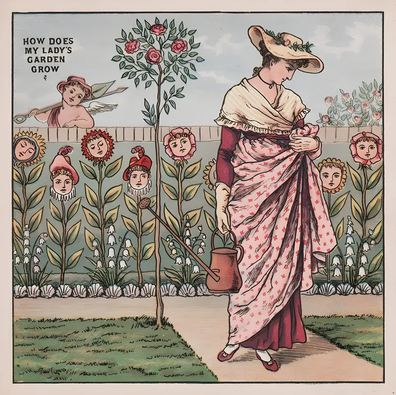
How does my lady’s garden grow
Walter Crane
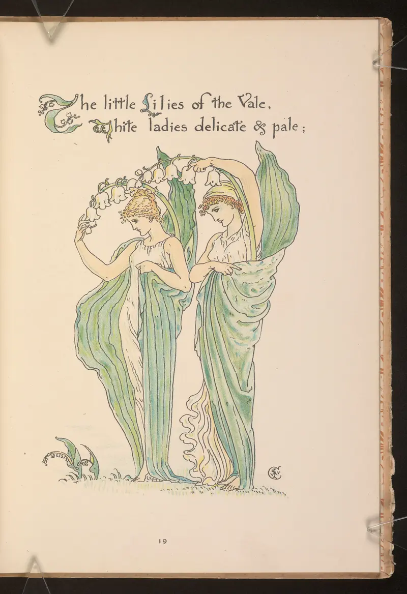
Flora’s feast; A masque of flowers Pl.19
Walter Crane
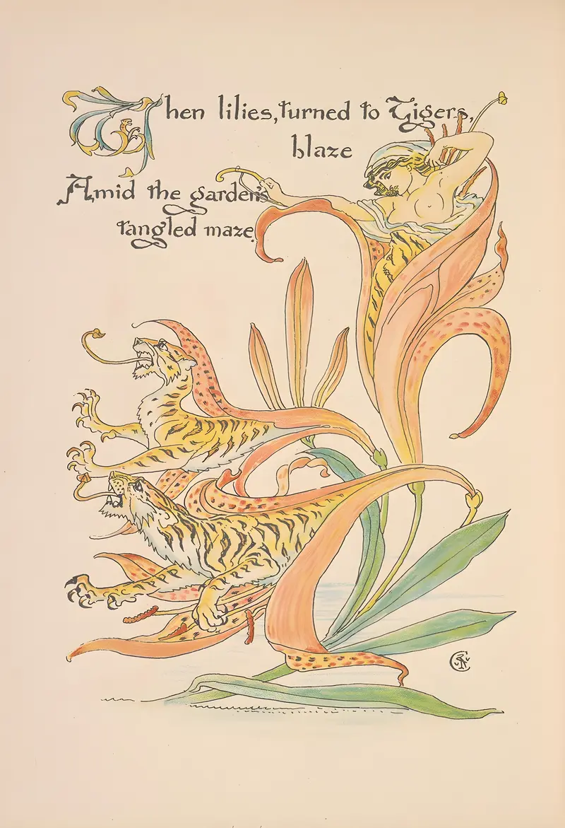
Flora’s feast; A masque of flowers Pl.34
Walter Crane
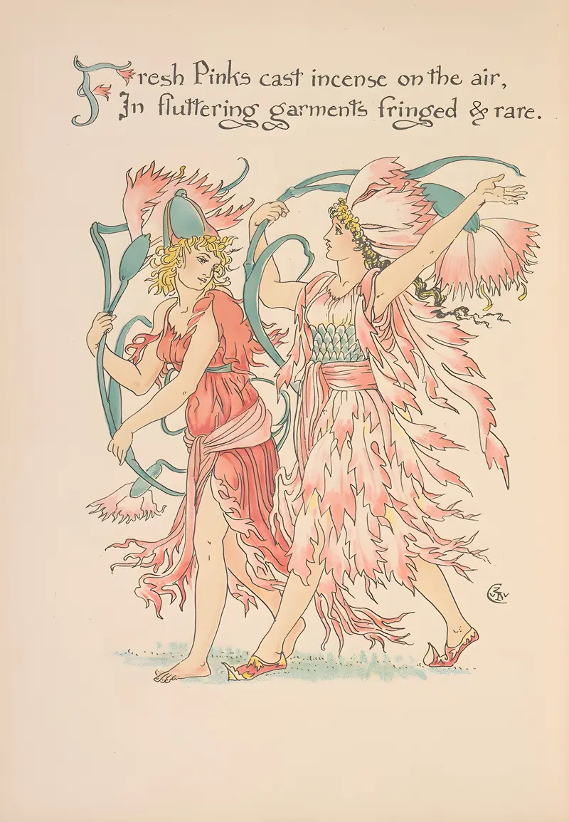
Flora’s feast; A masque of flowers Pl.29
Walter Crane